Let's meet
Level 16, Wisma UOA Damansara II, No 6, Changkat Semantan, Bukit Damansara Kuala Lumpur, 50490 Malaysia
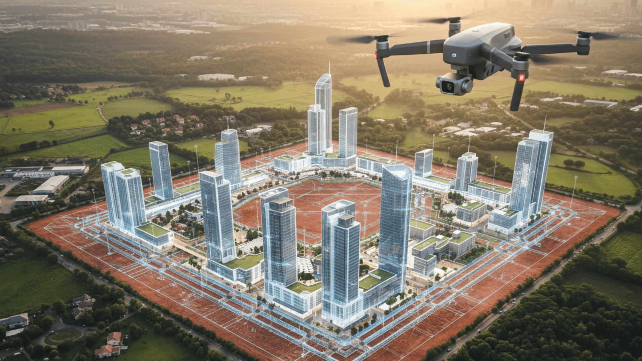
Aerial photography has made it easier than ever to showcase places and spaces from above. Not only do bird's-eye views offer a comprehensive view of landscapes and layout, they can also create a visual impact when it comes to marketing or presentation materials.
Aerial visuals have also become a valuable asset for virtual tour presentations. One master plan from higher ground can tell more stories than just having regular photography, and even more so when they are shown in 360 degrees.
There are many ways aerial photography can be used to illustrate a location or site progress that a normal camera or rough sketch just cannot do. Here are some of the businesses that have the most advantages from having drone views.
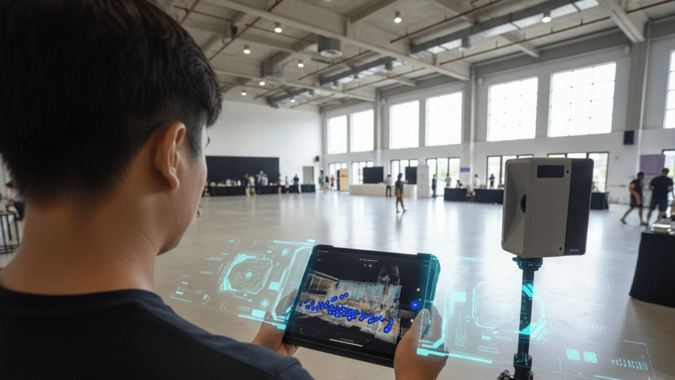
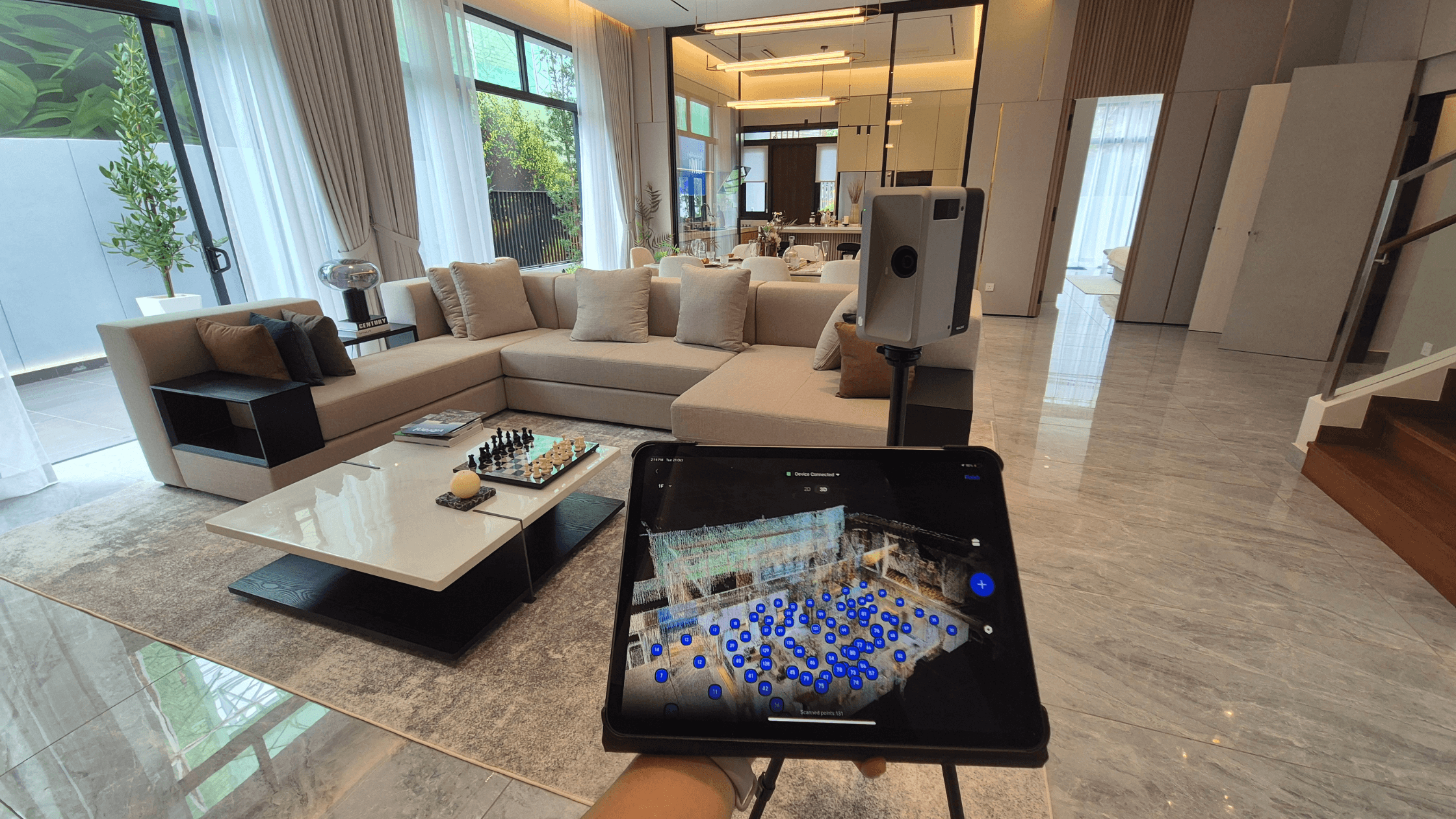
At Actsugi, we create virtual tours with high-resolution aerial visuals for a wide array of industries, including residential and commercial properties, ongoing development sites, and cultural landmarks.
Here are several reasons how aerial photography can enhance your virtual tour.
Stunning aerial views make a great first impression in a 360 virtual tour. For real estate developers, this can mean showcasing their township from an elevated position, allowing viewers to pinpoint where all the residential, commercial and industrial components are in one sweeping glance.
They can show how a place, whether it is a hotel, hospital, or educational institution is connected to highways, landscaped parks, or important nearby amenities. Hotspots can bring the viewers directly to a closer view of the landmark, show the distance from the main point, or reveal details about the location.
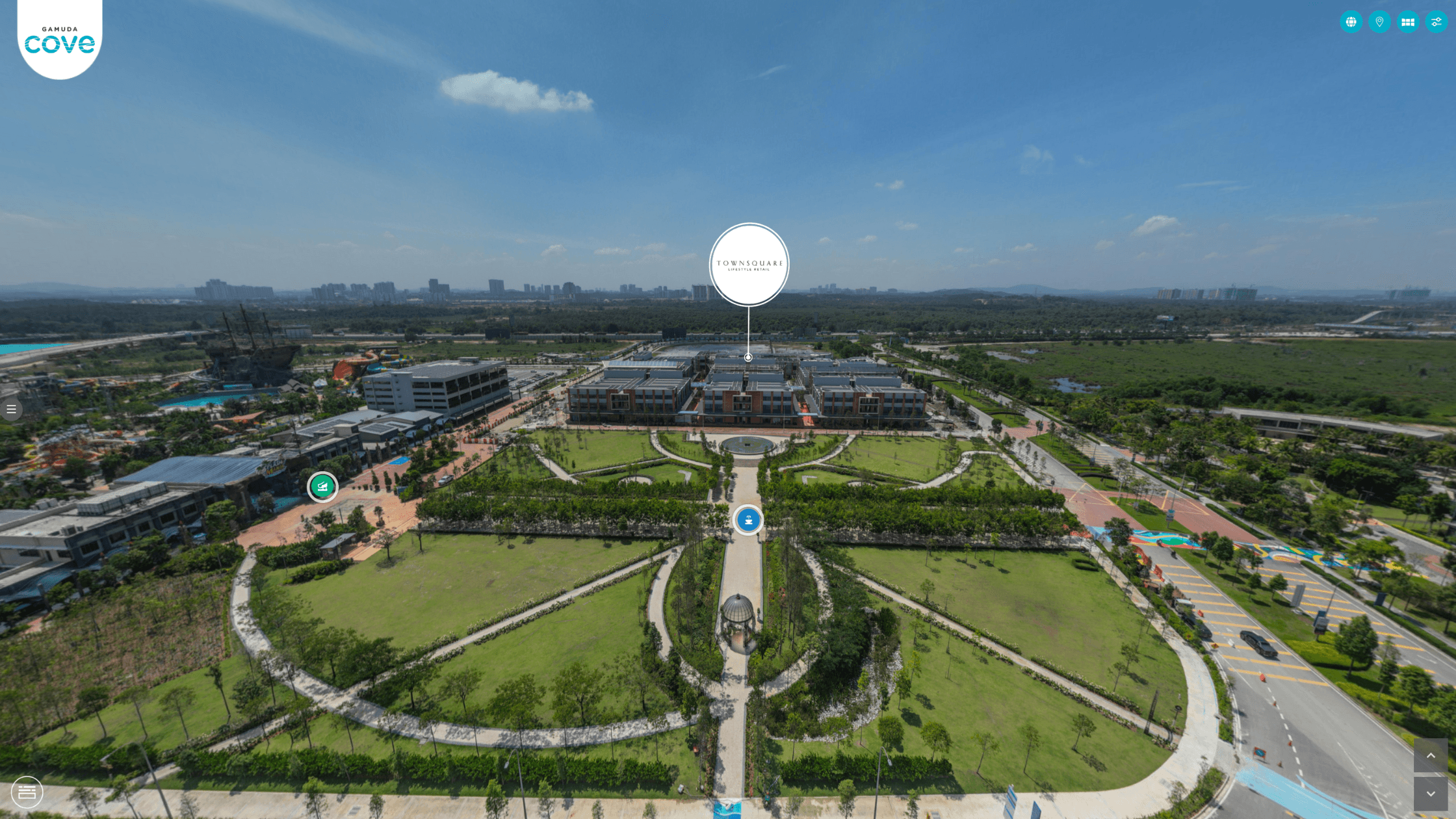
See how an aerial virtual tour enhances property marking in the Gamuda Cove Virtual Tour
When it comes to marketing a property, the most important selling point is 'location, location, location'. Research shows that signs of a good location include distance and accessibility to local amenities like schools, shopping centres, and transportation centres. These are all attributes that can be easily shown in an aerial virtual tour.
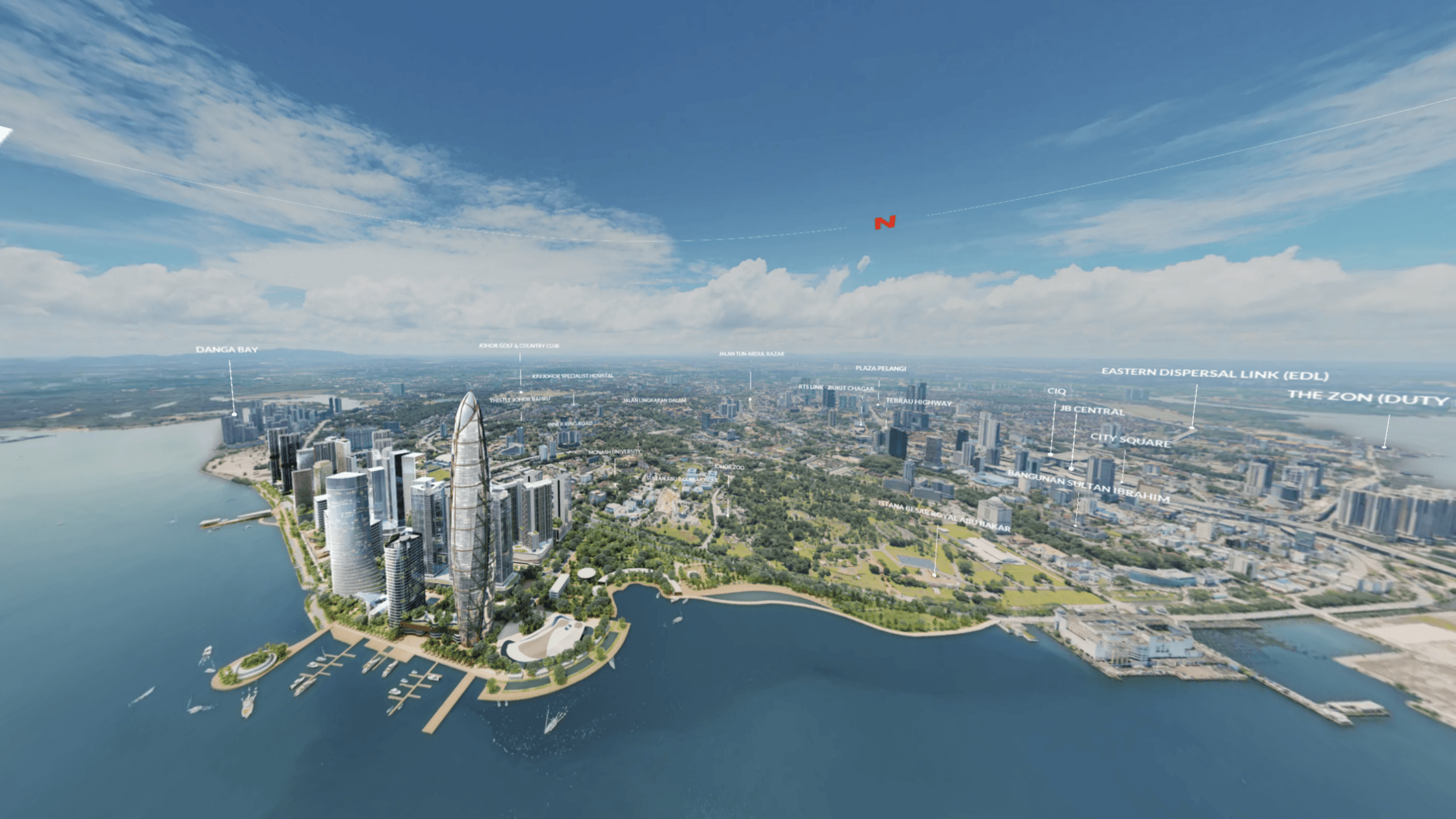
At Actsugi, we not only provide aerial photography of the neighbourhood, but also curate them in a neighbourhood guide. This neighbourhood guide serves as a digital map, by presents all the amenities in different categories, showing viewers where they all are in relation to each other in a map-based directory.
See how an aerial virtual tour highlights a neighbourhood in Lido Waterfront Boulevard Virtual Tour
Simply having an aerial image is not enough to say everything about the lay of the land. By including aerial labelling and hotspots, you can share details that can only be seen clearly through a higher angle.
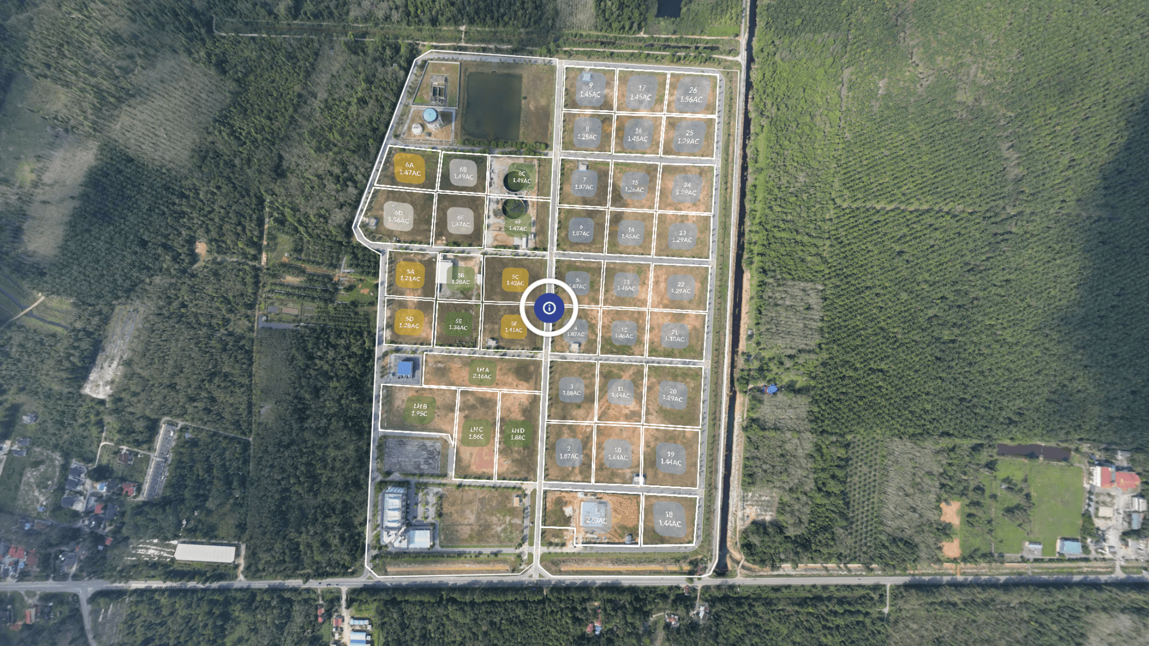
Let's say there is an industrial site which is sold by the plot. An empty land is not going to cut it. For it to be impactful and sales-ready, the aerial view should allow people to understand the different layouts, land size and land elevation in a single glance.
At Actsugi, we ensure your messages are brought to the forefront through interactive storytelling and meaningful labelling, even from a sky-high perspective.
See how an aerial virtual tour helps sell land in Pasir Mas Halal Park Virtual Tour
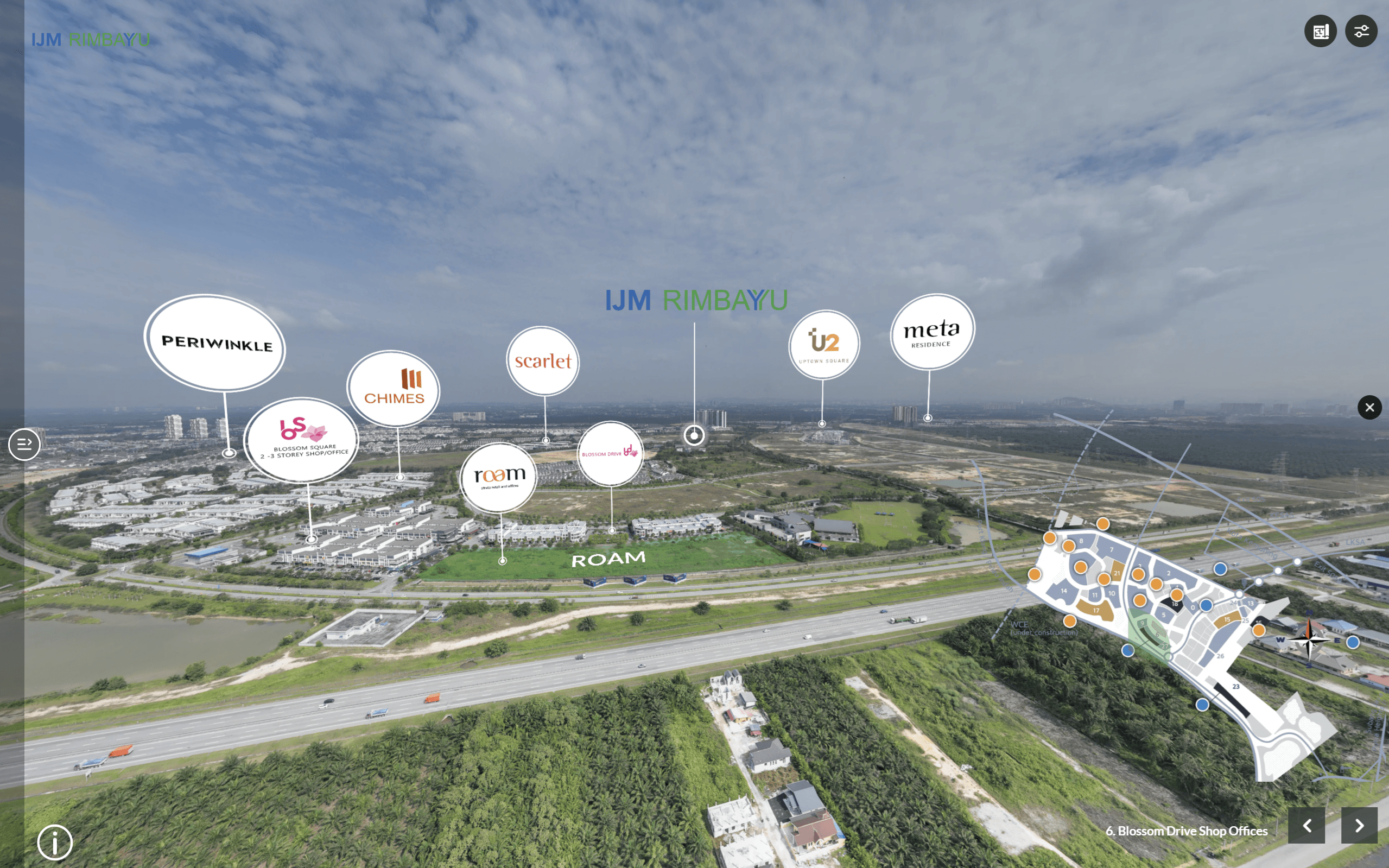
Aerial photography in a virtual tour can be used to present the property in a more dynamic way, especially with regular updates. Take a future industrial park: having refreshed drone images at a quarterly basis can show potential investors the progress of the site, giving them the confidence in the company.
A clear layout matters on every site, no matter the size. Drone photos help investors plan their layout easier, as they can understand the right number of entry and exit points. It also helps different teams coordinate by providing a central, easily understood image that everyone can access, whether on site or in separate offices.
Depending on the client requirements, we can update the shots with new drone photos, which helps to shows any new structures, landscaping, or build progress. With quarterly or annual updates, everything stays accurate, fresh, and ready for the next phase.
See the site progress of a township in IJM Rimbayu Virtual Tour
Aerial views don’t just help the team with building or running the space. They’re also useful for showing progress to clients, partners, or decision-makers, which in turn leads to better sales prospects.
When everyone involved can see what the space looks like and how it is laid out, ideas get shared better and approvals come faster. Even as the area is being developed, there is still an avenue to keep the sales and marketing going strong.
Actsugi crafts immersive 360 virtual tours in Southeast Asia. Our service offering includes not only photo capture and editing but also the creation of interactive galleries and annotated 3D walk-throughs, ensuring visuals stay relevant and easy to update.
Planning gets easier when you can see the big picture from above, so consider adding aerial photography with drone to your workflow. Whether your project involves a tight urban area or a large development site, a fresh top-down perspective can offer valuable insights year-round. Being able to see the full site from above supports quicker, smarter choices for customers. As your site evolves, updated visuals help you plan for both new developments and ongoing maintenance.